Kansas Ecosystems
Kansas Physiographic Regions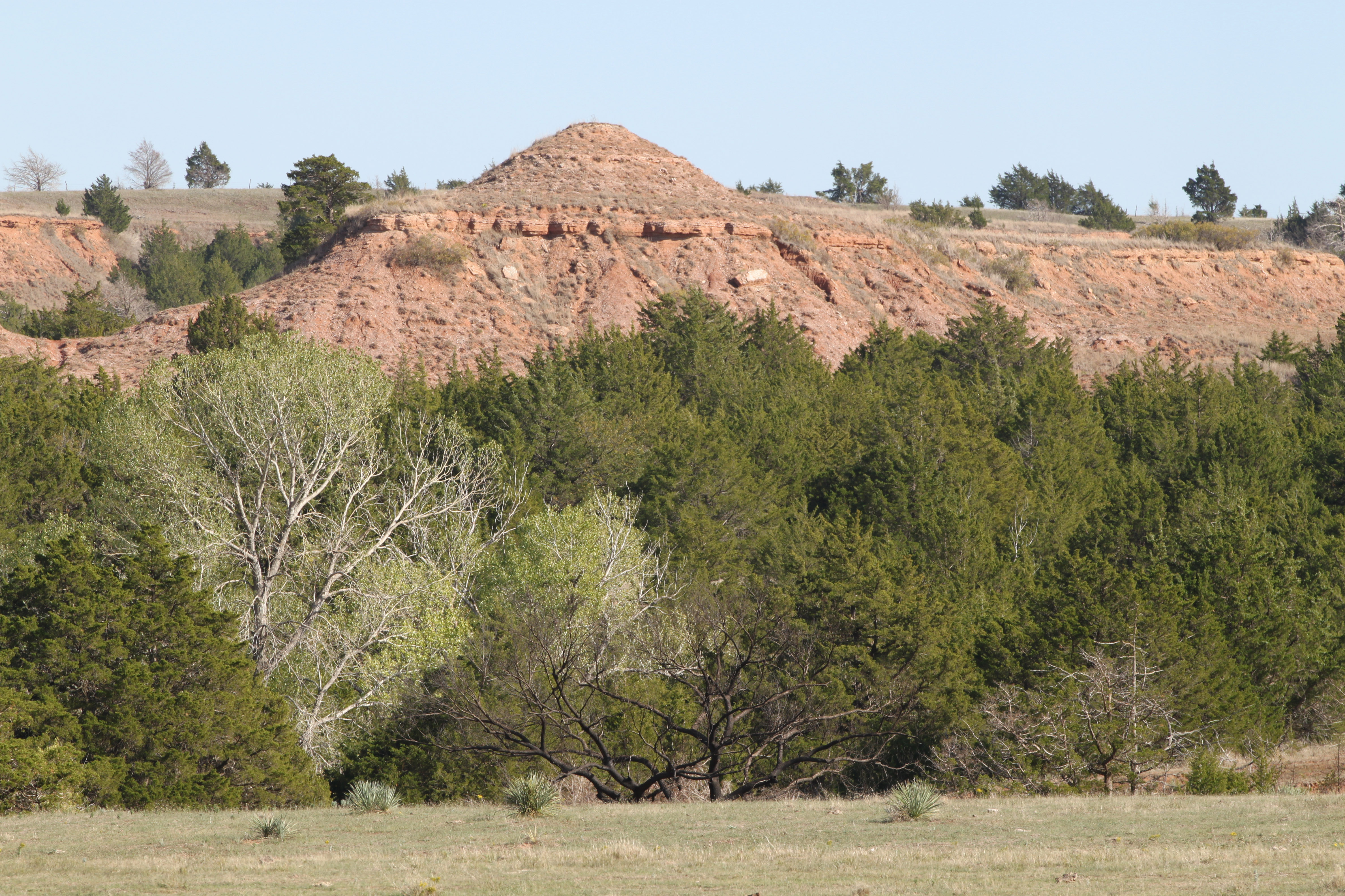
Eleven distinct physiographic regions constitute the landscape in Kansas, distinguished mainly by geology and climate.
The Red Hills is a mixed grass region located in south central Kansas. The predominant grasses include big bluestem, little bluestem, blue gamma, side oats gramma and others. There are also sand sagebrush, evening primrose and heath aster. Trees are mostly confined to areas along draws and include willows like the peach leaf willow, eastern red cedar and hackberries. They derive their name from the iron oxides (rust) that are visible in the 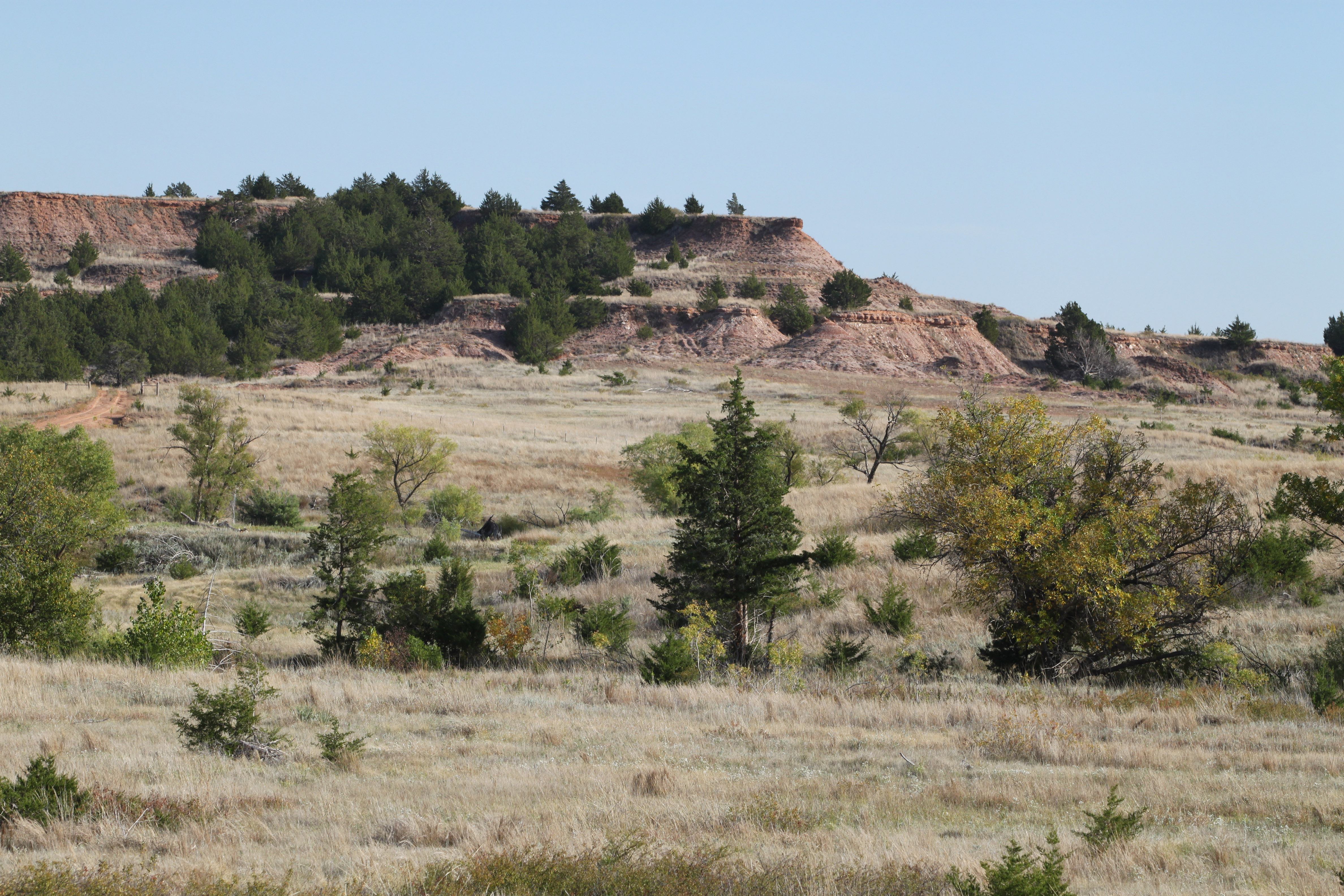 hills, buttes & mesas. Layers of white gypsum interrupt the color. Here the air is dry; and, water evaporation exceeds rainfall. Once, large herds of Bison (Bos bison) roamed this area. Currently, a small herd of bison (owned by the Kansas Department of Wildlife, Parks & Tourism) lives in the Big Basin Prairie Preserve. Pronghorn antelope can also be found in the Red Hills. Wildlife adapted to these dry conditions is nevertheless diverse: prairie rattlesnake, ring-necked snake, Texas horned lizard (horned toads) and even tarantulas.
The Flint Hills is a narrow north to south area of southeast Kansas that constitutes the largest intact tall grass prairie in North America. The soil (flinty limestone) is characterized by layers of flint (chert) making it difficult for plowing by the settlers. The area was once covered by a vast shallow sea, hence the presence of prehistoric sea fossils.
The flint hills ecoregion is distinct from the grasslands of the great plains. The tallgrass prairie of the Flint Hills is comprised of big bluestem, switchgrass and Indian Grass that American Bison once grazed. Today the Tallgrass Prairie National Preserve (managed by the Nature Conservancy) contains a herd of bison and some Greater Prairie Chickens. The elk that once lived here are now extant.
The Konza Prairie is a tallgrass prairie biological research station operated by Kansas State University.
The Flint Hills National Wildlife Refuge in the Neosho river valley near John Redmond Reservoir has natural wetlands plus many moist soil management units providing important habitat for migratory birds. The refuge also contains bottom land hard woods and riparian habitat.
Thousands of mallards, blue-winged teal, Canada geese, and snow geese use this Refuge during spring and fall migrations. The Refuge also provides valuable habitat for shorebirds, warblers, wild turkey, bobwhite quail, bobcats, and white-tailed deer. It is a strategic wintering area for bald eagles, red-tailed hawks, northern harriers, and rough-legged hawks. Because of these qualities, the Refuge has been designated an “Internationally Important Bird Area”.
CENTRAL GREAT PLAINS AREAS:
The Western High Plains of Kansas is a flat to rolling cropland with only a few streams; it is the driest region of Kansas. Major crops include winter wheat, with corn, grain sorghum, and sugar beets grown under irrigation. The natural vegetation includes: 1) mixed grass prairie in the north like needle and thread, blue grama, threadleaf sedge, prairie sandreed, and western wheatgrass; and, 2) shortgrass prairie to the south: blue grama, buffalograss, and scattered, isolated sites with alkali sacaton, western wheatgrass, and inland saltgrass. Wildlife includes: Pronghorn antelope, Lesser prairie chicken, Prairie rattlesnakes, Plains leopard frogs, Ornate box turtles, Spadefoot toads, and Woodhouse’s toads. Forbs also occur such as: Three foot tall Sand sagebrush, Scarlet gaura, Field goosefeet, Scarlet globemallow, & Wild begonia. Forbs such as aster are the main food source for deer and pronghorn antelope.
Smaller distinct areas within this large area of western Kansas are:
1) Sandsage prairie, a sliver of rolling sand plains laying over sandstone near Garden City just south along the Arkansas River often called. It has few perennial streams so crops require irrigation. It is predominantly rangeland but the historic vegetation is sand sagebrush, sand bluestem, prairie sandreed, and little bluestem.
2) Moderate Relief Rangeland along the Smokey Hill River & South Fork of the Republican Rivers with only intermittent streams and a few large perennial streams with reduced flow due to agricultural demand that has reduced the watertable as the Ogallala Aquifer
shrinks. Water is scarce; many riparian (streamside) areas are becoming depleted allowing native grasses to become crowded out by invasive weeds. Local communities are changing farming and ranching practices to address these challenges. Some ranchers are employing rotational or seasonal grazing practices to help protect sensitive riparian areas. It is mostly short grass prairie (blue grama and buffalograss on upland sites) and little bluestem, side oats grama along slopes; and mixed grass prairie.
3) Rolling Cropland in the southwestern corner of the state.
The Prairie Dog is a good ecosystem concept to study. For more about complex issues on the high plains visit Learning Landscapes.

Playas in Scott County Kansas by Catherine S. Evans, Kansas Geological Survey.
Cimarron National Grasslands near Elkart Kansas (SW corner of Kansas)
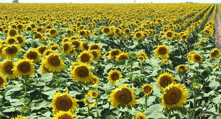
Sunflower Field by Diego Delso.
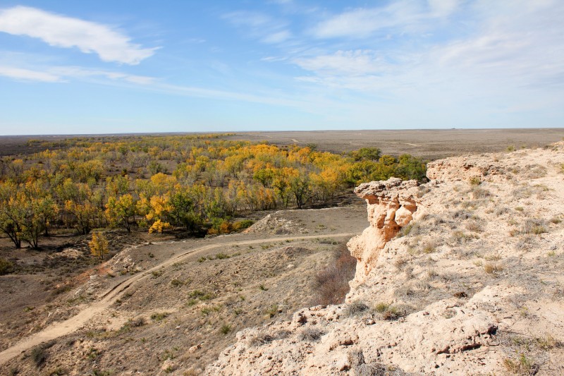
The Smoky Hills is a portion of the Great Plains in north central Kansas consisting of limestone, sandstone and chalk that formed by sedimentation during the Cretaceous period when this area of Kansas was covered by a vast sea. Fossils of extinct reptiles like plesiosaurs and mosasaurs that swam in these waters can be found in these rock formations. Today the area is mostly mixed grass prairie, cropland and rangeland. Hundreds of plant species including purple poppy mallow, prairie wild rose & blue false indigo can be found among little bluestem and side oats grama. Pioneers travelled through it along the Smokey Hill Trail. Animals adapted to this area include pheasant, bobwhite quail, white-tailed deer, beaver, turkey, raccoon, & coyotes. Greater Prairie chickens flourish here but only where native rangeland intermixed with CRP occurs. In the grasslands are kingbirds, meadowlarks & mule deer. Several easterly flowing rivers flow through it including the Republican, Saline, Solomon & Smokey Hill rivers. Kanopolis State Park where the Smokey Hill River is dammed forms a reservoir that attracts a large variety of migrating waterfowl including buffleheads, goldeneyes, pintails, shovelers, mergansers, & geese. Great Blue Heron are a common sight along the shallow waters. Within the lake are walleye, wiper, crappie, largemouth bass & channel catfish.
The Dakota Formation is an aquifer in parts of the Great Plains. The Dakota aquifer is composed of the Cheyenne Sandstone, and the Dakota and Kiowa Formations. Bluffs within Kanopolis State Park along Horsethief Canyon consist of golden tan Cheyenne limestone with the subtle blush of umber & sienna.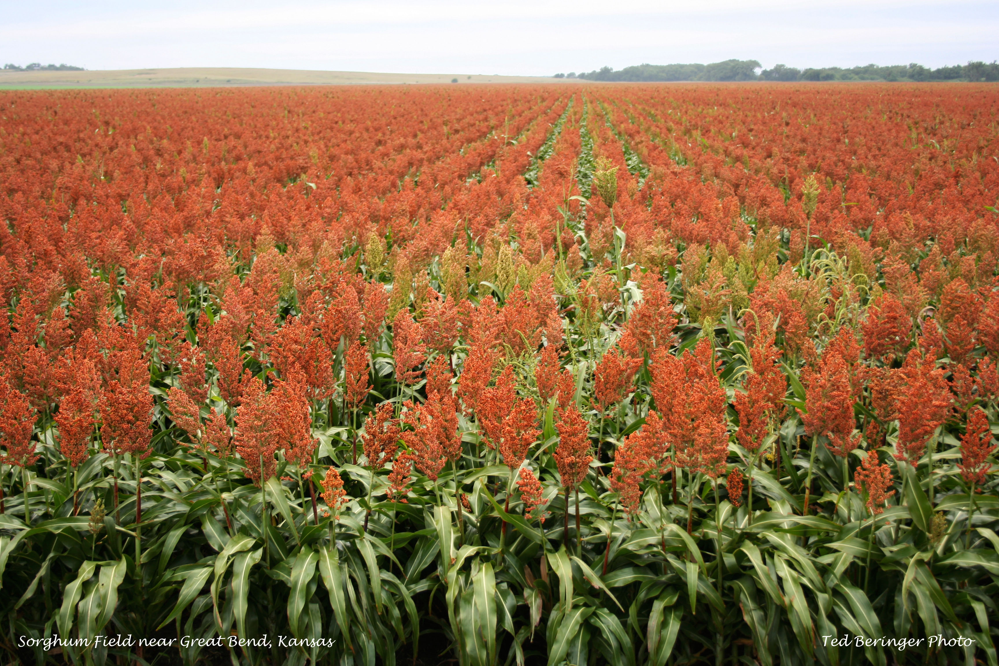
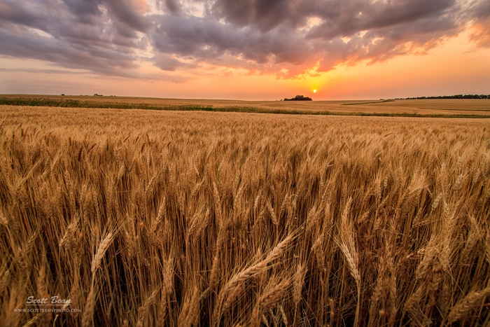
http://www.scottbeanphoto.com/blog/2013/08/05/photographing-kansas-wheat-fields/
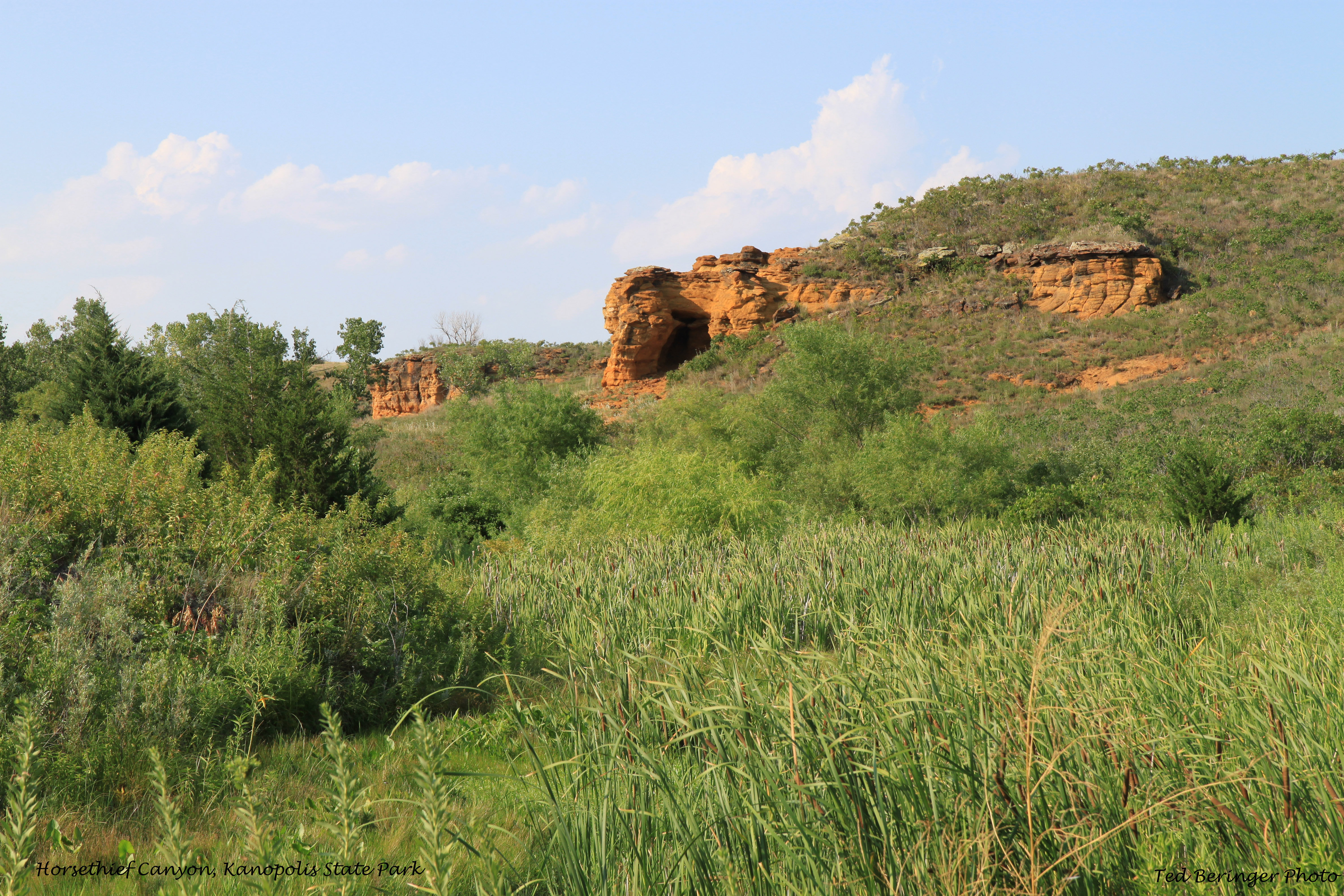
Horsethief Canyon, Kanopolis State Park
Great Bend Sand Prairie (Part of the Central Great Plains)
The Great Bend Sand Prairie is an area of south central Kansas roughly bounded by the cities of Pratt, Hutchinson and Great Bend. The land that remains undeveloped consists of windblown sand, undulating sandy plains, sandy outwash, and dunes. Natural vegetation like sand bluestem, sand dropseed, and sand reedgrass would thrive here, however, important dryland farming of winter wheat and large areas of center pivot irrigation of grain sorghum and alfalfa crops now dominate the landscape.
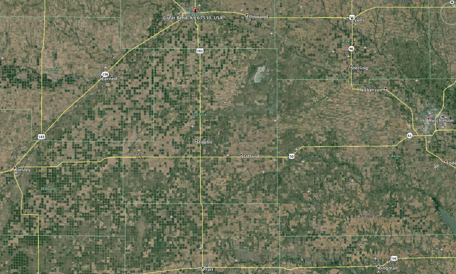
Image from Google Earth showing density of center pivot irrigation wells in the Great Bend Sand Prairie. Click to enlarge.
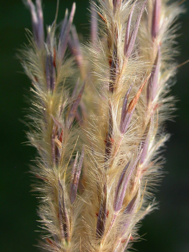
Sand bluestem photo by Matt Levin
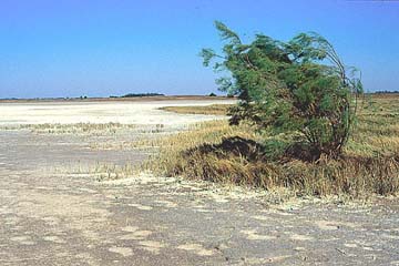
Salt flats at Quivira National Wildlife Refuge
The best areas to visit that exemplify or retain historical remnants of this physiographic area are the five following areas.
Quivira National Wildlife Refuge (NWR) in Stafford, Rice, and Reno counties. In 1955, the Migratory Bird Conservation Commission established the “Great Salt Marsh NWR” because of two unique historical salt marshes located there: the Little Salt Marsh and Big Salt Marsh. The authorized purpose was to manage the refuge as an “inviolate sanctuary” for migratory birds. In 1958, it was renamed to Quivira NWR after the Spanish word “Quivira” for the native American people living there (Kirikuru) when Spanish explorer Francisco Vasquez de Coronado’s expedition reached there in 1541.
Quivira NWR historically contained sand and mixed- grass prairie dissected by Rattlesnake Creek that would supply Little Salt Marsh during spring overflows. Additionally, saline groundwater discharge from the underlying Great Bend Prairie Aquifer supplied the marshes. The slightly saline Rattlesnake Creek and extremely saline groundwater seepage establishes and maintains the ecosystem. The salt marsh ecosystem is maintained by alternating seasonal flooding and dessication. Understandably, there are high ground water levels that subirrigate alluvial surfaces. Fires have limited most woody vegetation.
Overlying the Permian and Cretaceous bedrock are variable deposits of silt and fine sand with interbedded calcium carbonate. The quartz, feldspar and granite in these deposits implies that the ancestral Arkansas River deposited them from their origin in the Rocky Mountains.
In season, the abundance and variety of migratory waterfowl (such as whooping cranes, sandhill cranes, and snow geese) are worth the drive from anywhere in Kansas. For birds and wildlife present at other times of the year, visit the Quivira NWR homepage at < http://www.fws.gov/refuge/quivira/>.
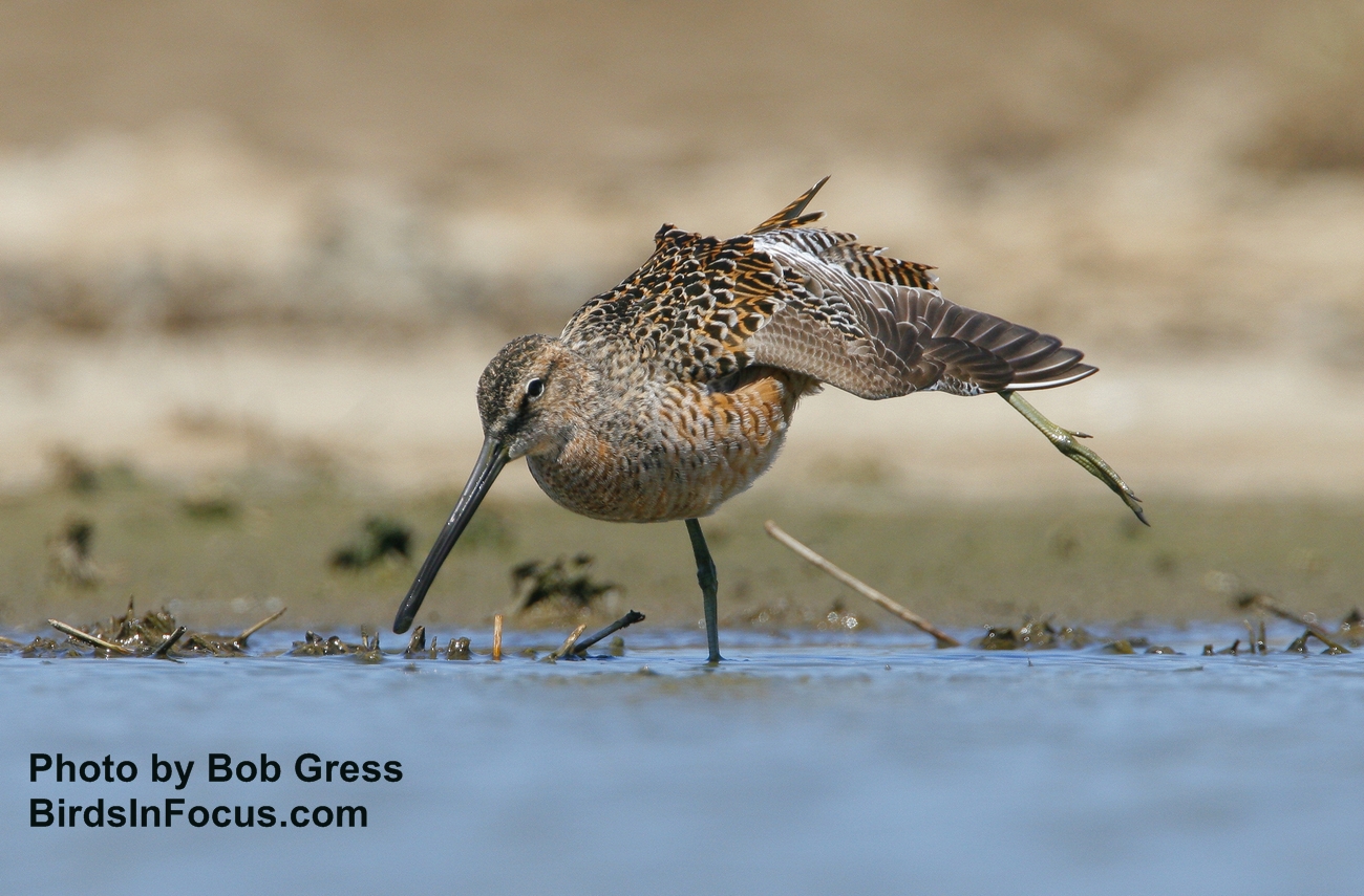
Long-billed Dowitcher at Quivira NWR by Bob Gress
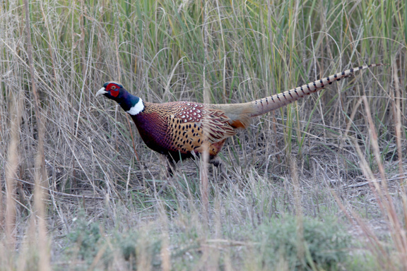
Pheasant at Quivira NWR by http://amandalomanblog.com/2011/11/06/quivira-national-wildlife-refuge/
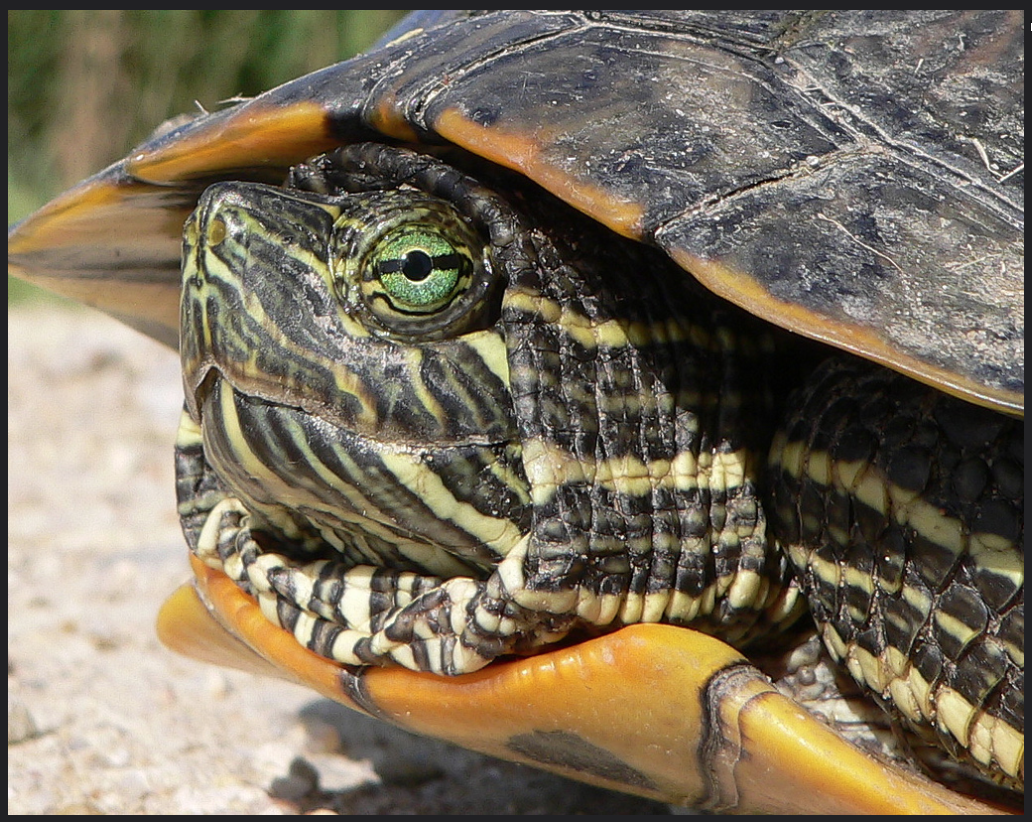
Slider at Quivira NWR photo from USFWS Mountain-Prairie
Other interesting Great Bend Sand Prairie Places to Visit:
Cottonwood Flats Wildlife Area: Invasive salt cedar immediately adjacent to the river is being removed to improve turkey habitat. Farther from the river, a mix of native grasses and forbs characterize the southern half of the property.
Pratt Sandhills Wildlife Area: Quail, pheasant, dove, turkey, deer, rabbits and coyotes are found here.
Sandsage Bison Range: The Bison Range was established in 1916 by President Woodrow Wilson. It maintains a small herd of bison. The bison range is one of the few tracts of native sandsage prairie in Kansas that has not been converted to irrigated cropland. This ecosystem is unique due to the presence of several tall grass species (e.g. sand bluestem, giant sandreed & sand lovegrass) and sand sagebrush. Wildlife includes the lesser prairie chicken, spotted ground squirrel, kangaroo rat, scaled quail, black-tailed jack rabbit, mule deer, and western hognose snake. Tours can be arranged by the Friends of the Sandsage Bison Range at http://www.fosbr.com.
Sandhills State Park: This sand prairie has 14 miles of interpretive, hiking and horseback riding trails leading you to wetlands & ponds, grasslands & woodlands plus sand dunes up to 40 feet high.
Additional more detail information can be found at the following links:
https://www.fws.gov/mountain-prairie/planning/resources/documents/hgm/qvr_hgm_options.pdf
https://www.fws.gov/mountain-prairie/planning/resources/documents/hgm/qvr_hgm_introduction.pdf
Western Corn Belt Plains Ecosystem :
The Western Corn Belt Plains Ecosystem is an area in the extreme northeast corner of Kansas that extends into Nebraska, Iowa, South Dakota, Wisconsin and Minnesota.
Historically this area had been tallgrass prairie, but currently over 90 percent of the Western Corn Belt Plains ecoregion is cropland (corn & soybeans) with most of the rest used for livestock forage. Its agricultural success is due to dependable precipitation and fertile soils. The eastern segment abutting upon the Missouri River has deep loess hills (Kansas Loess Hills) that could support tallgrass prairie. Scattered oak-hickory forests claim the stream valleys.
The more westerly loess-covered hills have areas of exposed glacial till (Loess and Glacial Drift Hills) that had more extensive tallgrass prairie historically and less oak-hickory forest than found along the eastern segment.
As with many agricultural and livestock enterprises, there are environmental consequences here due to soil erosion and runoff of fertilizer, pesticide and herbicides that contaminate surface and ground water.
Two Sample Areas to Visit in the Western Corn Belt Plains Ecosystem: Atchison State Fishing Lake and Weston Bend Bottomlands.
Atchison State Fishing Lake (built in 1957 as Hetherington Lake) is surrounded by these oak-hickory woodlands; and elm, locust, willow, and silver maple complete a rich riparian woodland. You can expect white-tailed deer, raccoons, and both fox squirrels and gray squirrels as well as a resident population of Canada geese. Red-eyed vireos, yellow-throated vireos, blue-gray gnatcatchers, and summer tanagers build nests here. You will hear chuck-will’s-widow and whip-poor-wills. When the fall and spring migrations take place you’ll be rewarded with the sight of mallards, pintails, goldeneyes and redheads.
Maybe you’ll see some interesting snakes that reside in this part of the state: Diamondback Water Snake, Western rat snake, Smooth Earth snake, and the Redbelly snake.
Weston Bend Bottomlands (on the Kansas side of the Missouri River below the limestone bluffs of Fort Leavenworth) is a superb example of Kansas riparian bottomlands with cottonwoods, sycamore maples, walnut, elm, and ash. There are also raspberry bushes and elderberries.
There are also many native northern pecan trees which were probably planted hundreds of years ago either by the French or by Native Peoples and which form the northwestern most native pecan grove in the United States. These groves were noted in the journals of the Lewis and Clark Expedition in 1804.
A trail system will treat you to the sound and sight of pileated woodpeckers. Less noisy are the white tailed deer and foxes. There are beaver and raccoons. Prominent sycamores support huge stick nests built by great blue herons. During spring and fall migrations you can spot grosbeaks, towhees, orioles, plus various buntings, vireos, and warblers.

Campsite at Atchison State Fishing Lake; Photo by KansasCyclist.com.